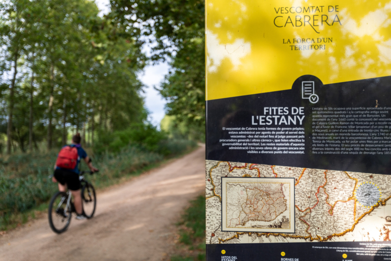
The Viscountcy of Cabrera was a territory with its own system of government, administered by officials serving under the authority of the viscounts, including notaries, judges, procurators general and other authorities responsible for ensuring the governance of the territory. Material remains of this administration and its governing institutions can still be seen in several places throughout the Viscountcy.
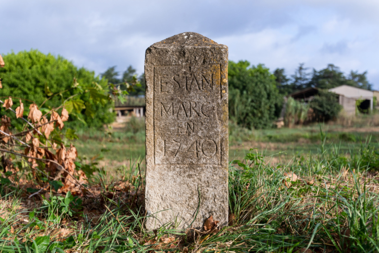
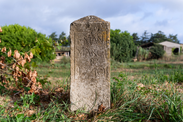
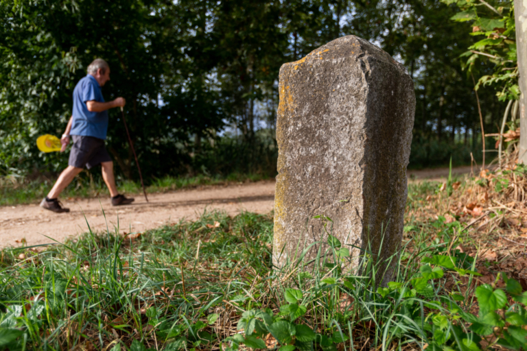
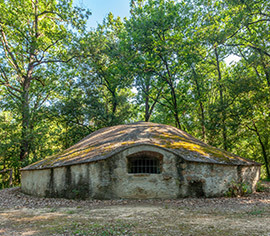
Sils Lake covered an area of approximately 7 km² and is often depicted in old maps as being larger than Banyoles Lake. A document dating from 1660 records that Guillem Ramon de Montcada, Viscount of Cabrera, granted Francesc Villar, the owner of an ice well in Maçanet, the right to collect ice in exchange for a deposit of 35 pounds and an annual payment of two sous in Barcelona currency. In 1740, the Duke of Medinaceli, husband of Maria Teresa de Montcada, Viscountess of Cabrera, ordered boundary stones to be placed to mark the limits of the lake. After several drainage attempts dating back to the 13th century, the process was finally completed with the construction of a drainage ditch in 1851.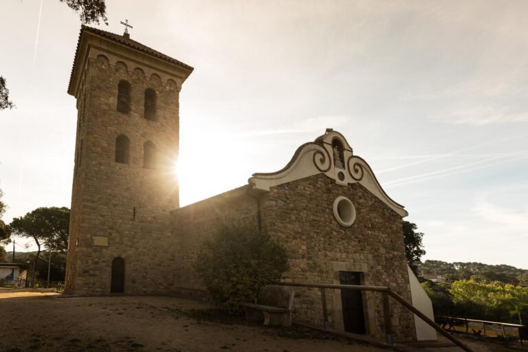
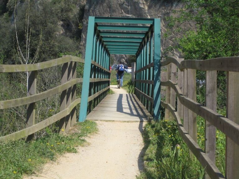
The Sant Marçal – Arbúcies section is a moderate stage, ranging from 12 km if you take the variants exclusively…
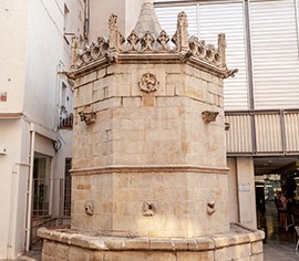
The material remains of this administration and its governing institutions are still visible in several places throughout the Viscountcy. The…




8 June, 2026

5 June, 2026


4 June, 2026 - Local product
Subscribe to the newsletter





Pla de Recuperació, Transformació i Resilência - Finançat per la Unió Europea - Next Generation UE



AODL en l'ámbit del nou model de gestió turística de la Selva. Acció subvencionada pel Servei Públic d'Ocupació de Catalunya en el marc dels Programes de Suport al Desenvolupament local.