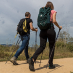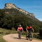
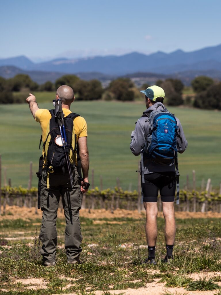
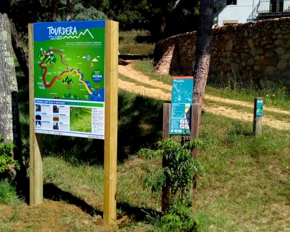
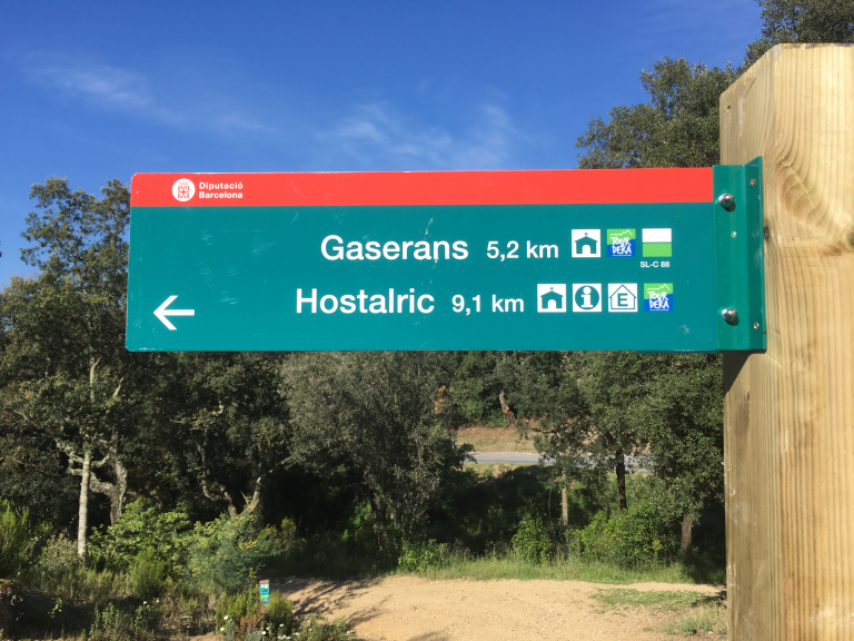
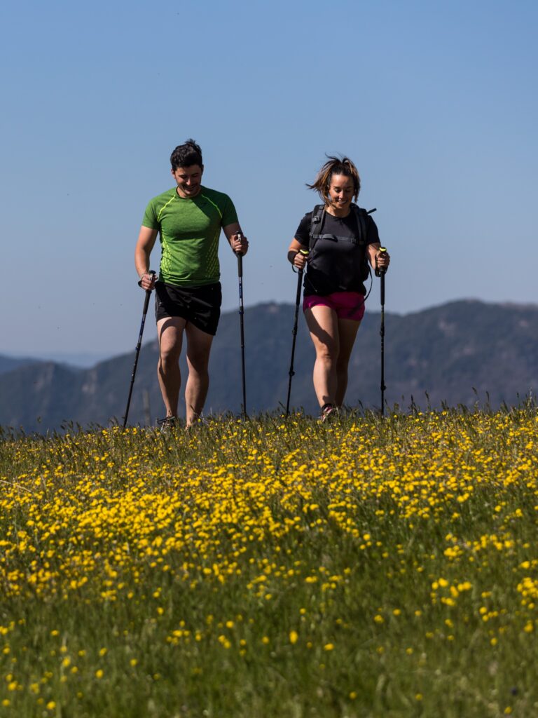
La Selva has more than 350 km of hiking trails that allow you to travel through the region along the coast, the plains and the mountains, connecting all the towns. This network makes it possible to design your own itineraries and discover the territory on your own on foot.
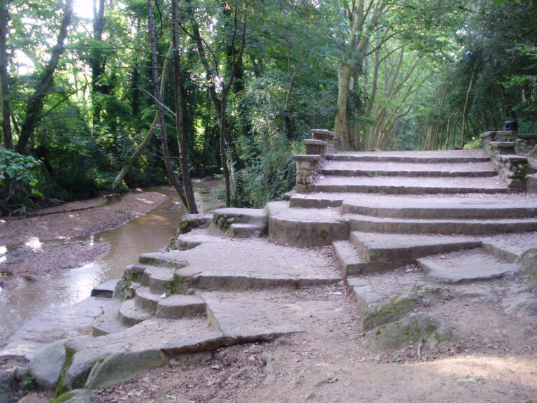
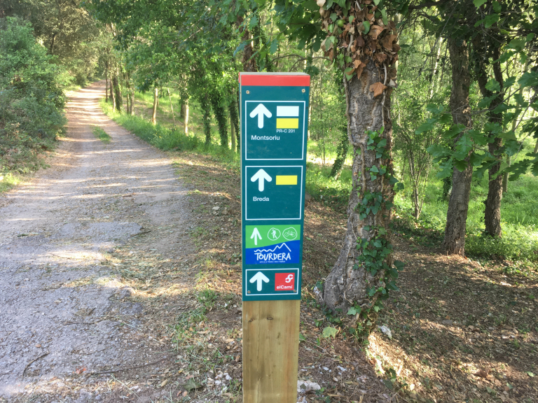
The network includes forest tracks, greenways and little-traveled roads, with routes of different levels of difficulty and a wide range of services. The climate, favorable for much of the year, makes it easy to practice. Although the paths are not exclusive to hiking, traffic is always low-intensity and allows you to connect all the population centers in the region via forest tracks, dirt roads, trails, etc., signposted and maintained.
You can consult the recommendations when taking a walking route at this link.




6 October, 2026 - Essències


8 June, 2026

5 June, 2026

Subscribe to the newsletter





Recovery, Transformation and Resilience Plan – Funded by the European Union – NextGenerationEU



Local Development and Employment Officer (AODL) within the new tourism management model for La Selva. Initiative subsidised by the Public Employment Service of Catalonia as part of the Local Development Support Programmes.