The Way of St. James The way of St. James at the Mountain area

The Way of St. James

1 - Carrilet Greenway

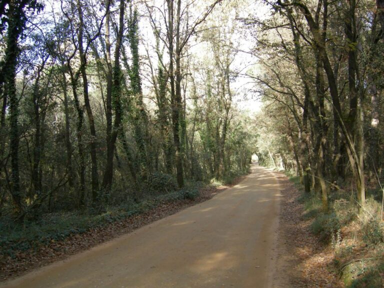
The sections of the Way of Saint James in Catalunya in the innermost part of la Selva, in the mountainous area, correspond to the Way of Saint James in Catalunya, which, from the French border, heads towards Montserrat passing through Girona and this part of our region, coinciding with the Carrilet Greenway towards Olot. On this route, it passes through the municipalities of Sant Julià del Llor i Bonmatí, Anglès, la Cellera de Ter and Amer, and leaving the region towards Garrotxa, it goes through the Planes d’Hostoles.

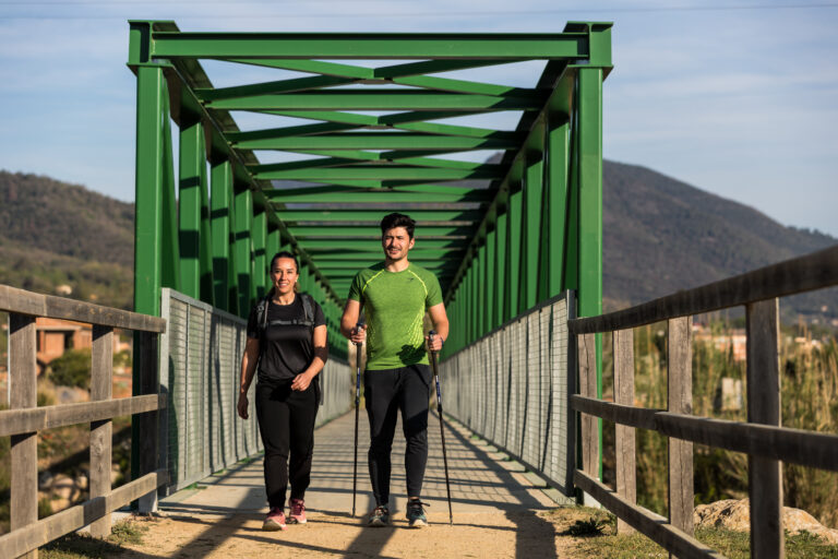
Foto: Jordi Rierola. Senderistes al Camí de Sant Jaume i Via Verda del Carrilet sobre la riera d'Osor.
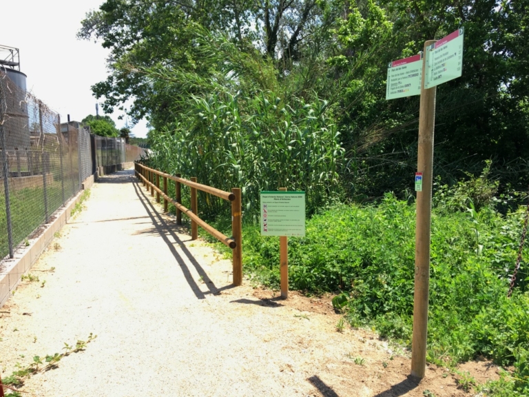
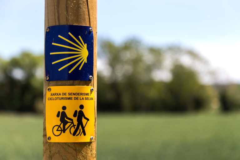
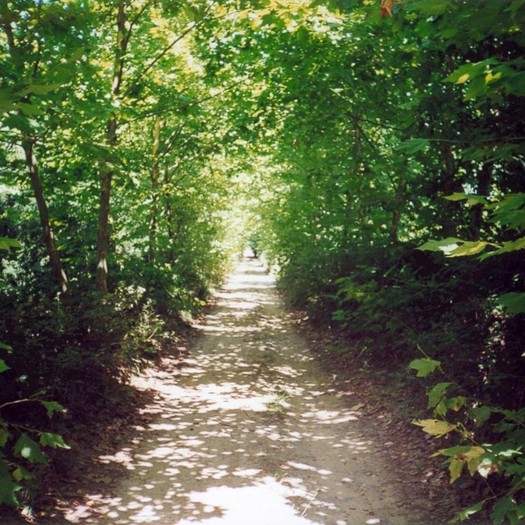
Foto: Jordi Rierola. Senyalització del camí de Sant Jaume i de la Xarxa de senderisme i cicloturisme de la Selva.
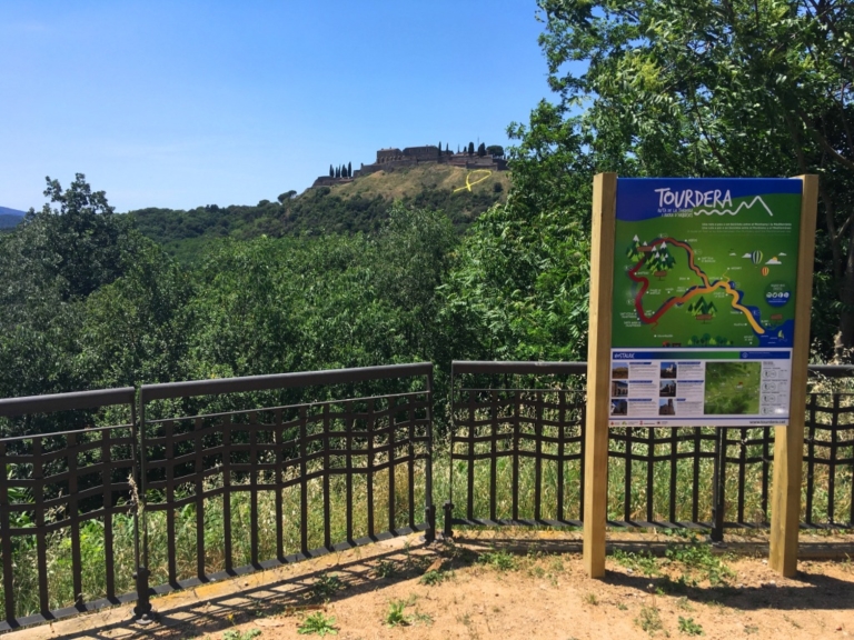
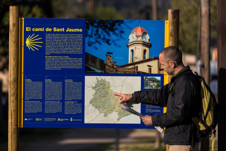
Foto: Jordi Rierola. Plafó del camí de Sant Jaume a Anglès.

KEY INFORMATION

  • Moderate
  • 19.47 km
  • 266 m
  • 61 m
  • Linear
  • Sant Julià de Llor i Bonmatí
  • On foot
Camí de Sant Jaume
The Way of St. James

2 - Variant for reservoirs

In La Selva there is a small branch of this path that works as a shortcut. Specifically, the path passes through the Susqueda and Sau reservoirs from Pasteral, which avoids having to go through Olot on the way to Vic and Montserrat. On this branch, the path passes through the municipalities of Amer, Osor, Susqueda and Sant Hilari Sacalm, heading towards Vilanova de Sau, already in the Osona region.
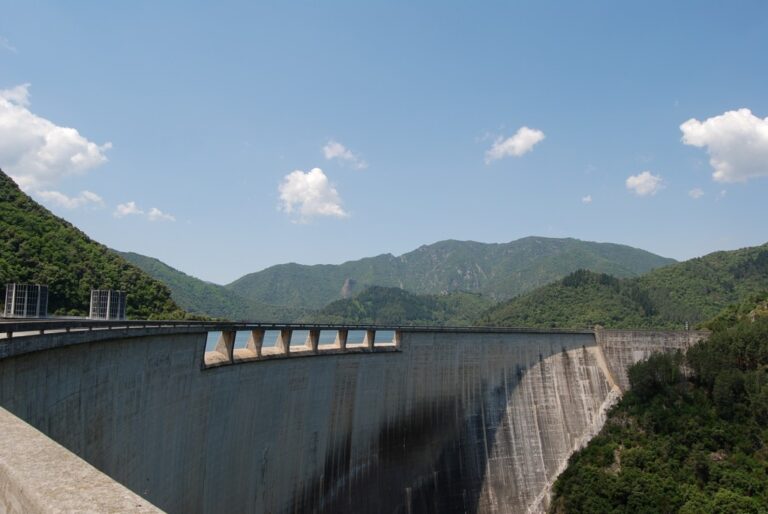
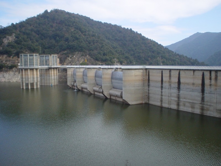
Foto: Consell Comarcal de la Selva. Presa de Susqueda.
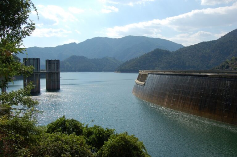
Foto: Consell Comarcal de la Selva. Embassament de Susqueda..
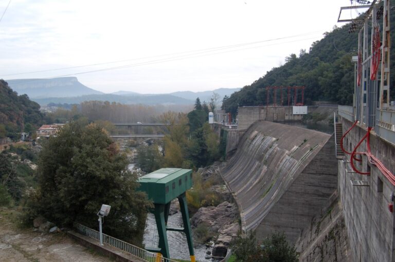
Foto: Consell Comarcal de la Selva. Presa del Pasteral.
Foto: Consell Comarcal de la Selva. Embassament del Pasteral.
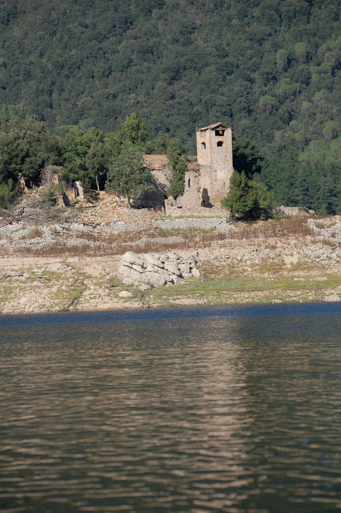
Photo: La Selva Regional Council. Sant Agustí de Lloret Salvatge.
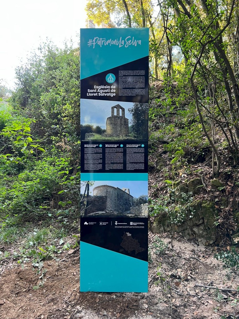
Foto: Consell Comarcal de la Selva. Tòtem Sant Agustí de Lloret Salvatge.
Foto: Consell Comarcal de la Selva. Sant Martí de Querós.
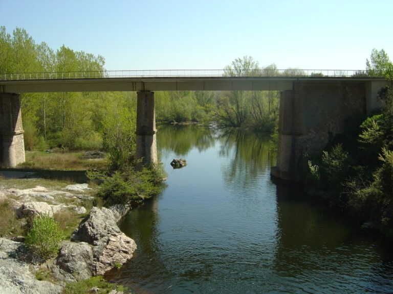
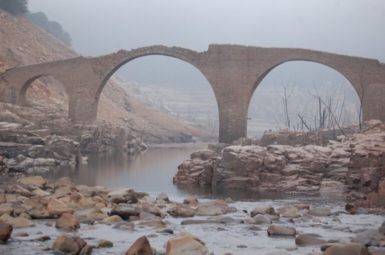
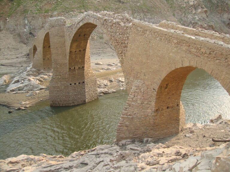
Foto: Consell Comarcal de la Selva. Antic pont de Querós.

KEY INFORMATION

  • Moderate
  • 28.33 km
  • 1.405 m
  • 1.161 m
  • Linear
  • Amer
  • On foot
Camí de Sant Jaume

Other nearby experiences

Riudarenes - Sils: The reapers' revolt

  • Route
  • Hiking network
  • Riudarenes

Section Tourdera Gaserans – La Batllòria

  • Route
  • Sant Feliu de Buixalleu
  • Tourdera

Section Tourdera Riells i Viabrea – Breda

  • Route
  • Riells i Viabrea
  • Tourdera

Bonmatí - Anglès: a walk along the Via del Ter

  • Route
  • Hiking network
  • Sant Julià de Llor i Bonmatí

El Camí de Sant Jaume on the blog