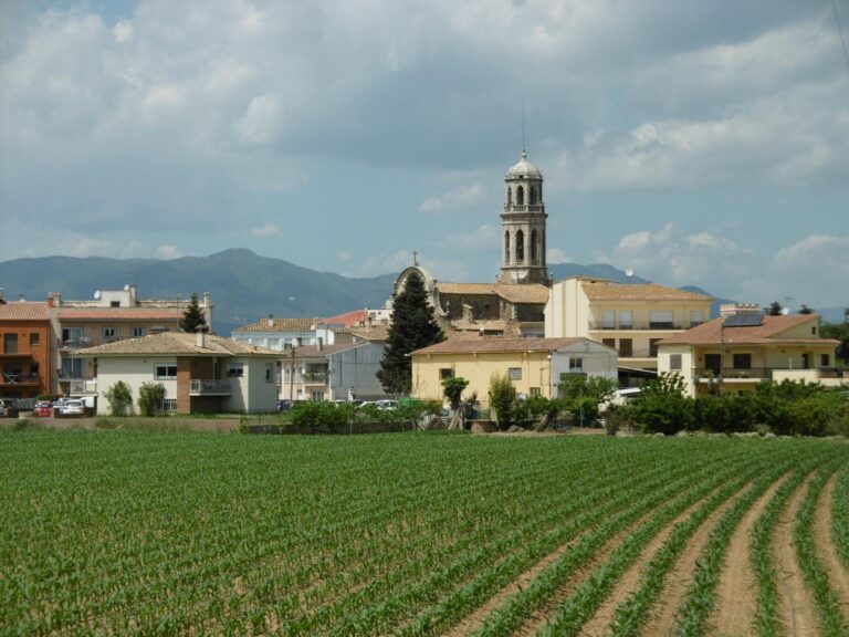
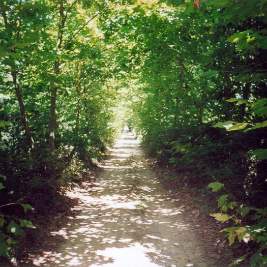
The Grevalosa and Bagastrà Route to Vilobí d’Onyar is a circular hiking route of 11.2 km with a very gentle gradient (approx. 92 m), ideal for walking. This route, located in the region of La Selva, runs through the agricultural landscape and along the banks of the Grevolosa stream and the Onyar stream.
Route marked with vertical signs (banners) and tracking marks (strip of yellow paint).


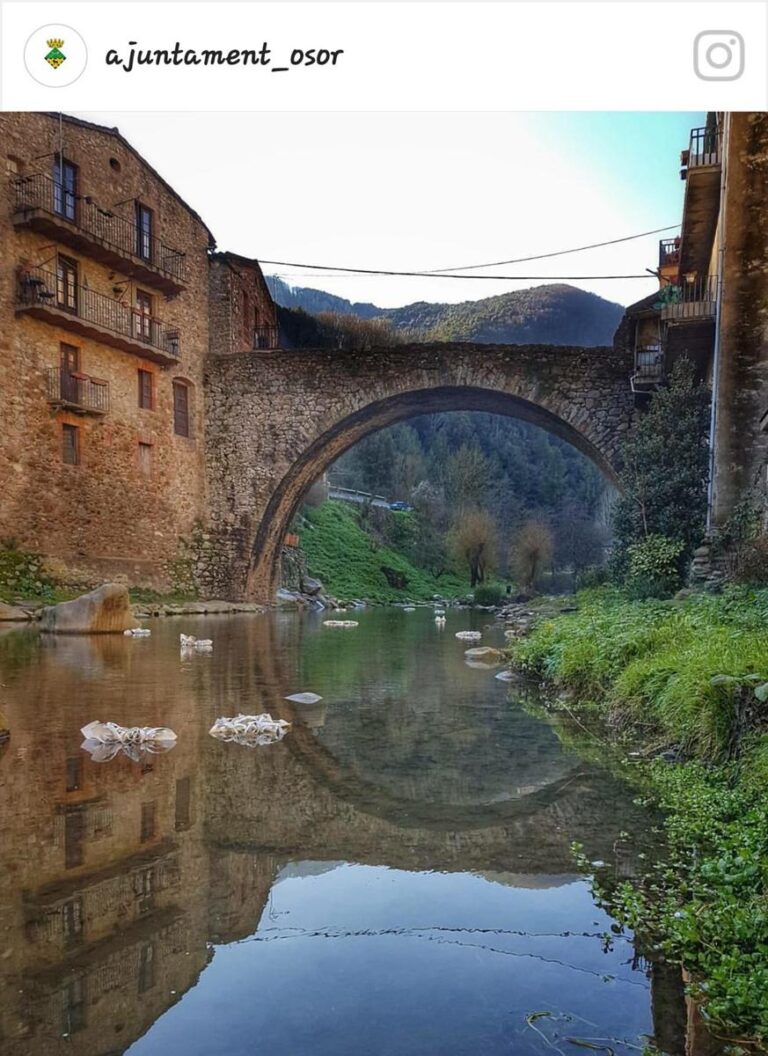

8 June, 2026
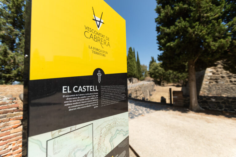
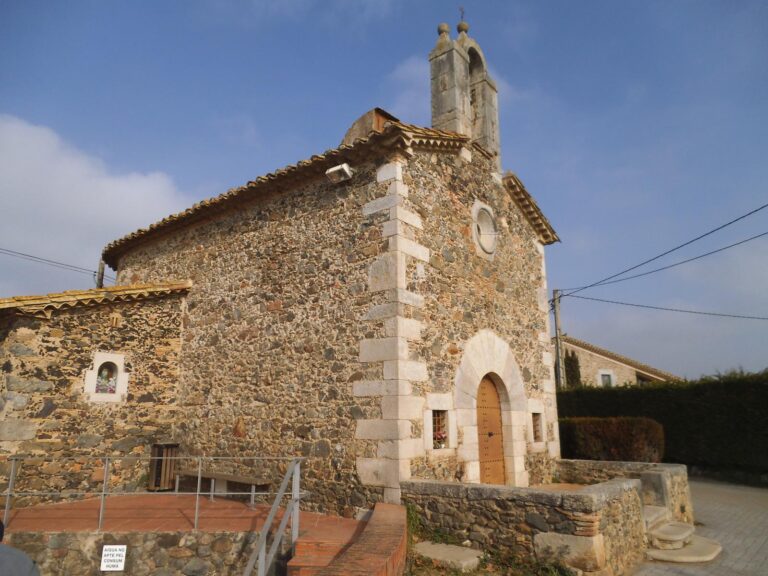
5 June, 2026 - Heritage
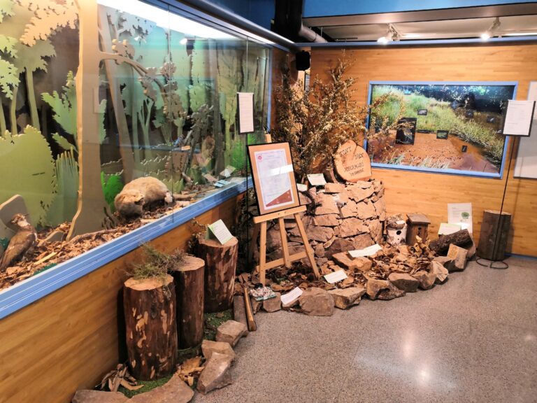
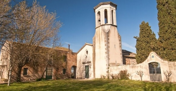
5 June, 2026 - Museums
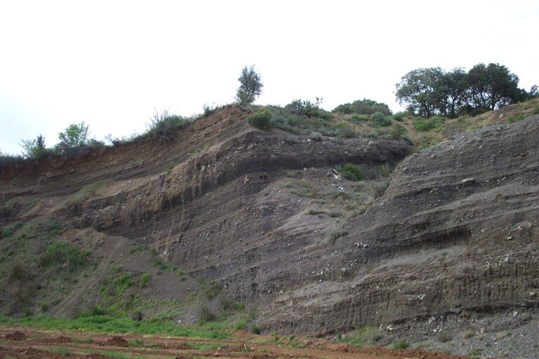
5 June, 2026
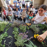
4 June, 2026 - Local product
3 June, 2026 - Walking route
Subscribe to the newsletter
Pla de Recuperació, Transformació i Resilência - Finançat per la Unió Europea - Next Generation UE
AODL en l\'ámbit del Patrimoni. Acció subvencionada pel Servei Públic d\'Ocupació de Catalunya en el marc dels Programes de Suport al Desenvolupament local.