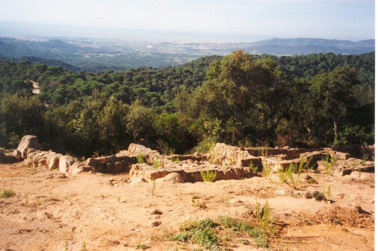
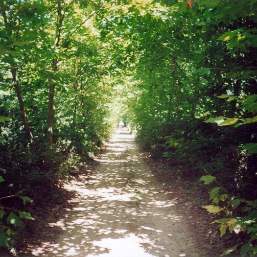
The Caulés route is a long route that will take you to the edge of the municipality of Lloret de Mar to visit the hermitage of Santa Susanna de Caulès, through Mediterranean forests of oaks, cork trees, etc., and crossing the Puig de Montgrós, from where you will have good views of the entire area. The route ends at the hermitage of Santa Susanna de Caulès. It is very important to take into account that this is a long route, 28.92 kilometers round trip, so you need to be well equipped with comfortable shoes, water and food.
This route is signposted with paint marks and vertical directional signs.
")
")
")
")
8 June, 2026
5 June, 2026
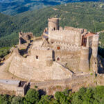
5 June, 2026 - Heritage
5 June, 2026 - Museums
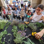
4 June, 2026 - Local product
3 June, 2026 - Walking route
Subscribe to the newsletter
Pla de Recuperació, Transformació i Resilência - Finançat per la Unió Europea - Next Generation UE
AODL en l\'ámbit del Patrimoni. Acció subvencionada pel Servei Públic d\'Ocupació de Catalunya en el marc dels Programes de Suport al Desenvolupament local.