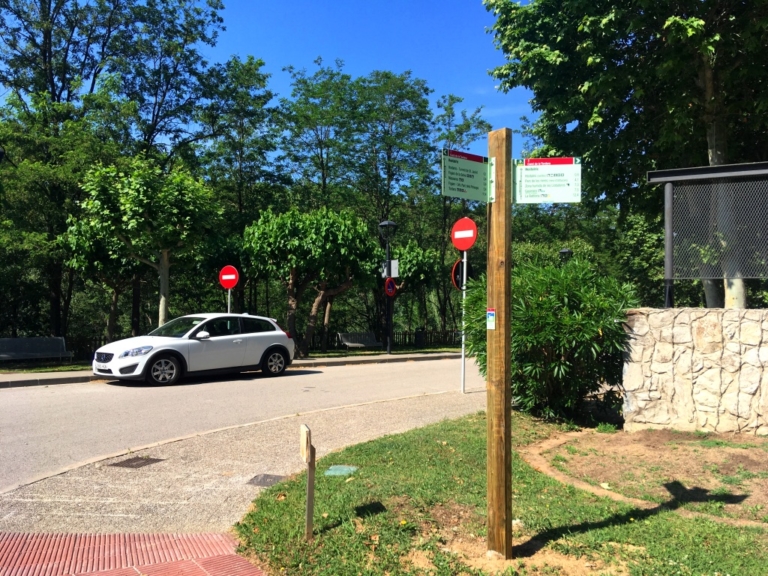
The Massanes–Hostalric section is a very easy route approximately 4.5 kilometres long, connecting the town centres of Massanes and Hostalric. It begins on Main Street, in front of the municipal warehouse at the entrance to Massanes. The Tordera route information panel is mounted on the warehouse wall. If you arrive by car, parking is readily available.
To begin, leave the village along Main Street towards the GIV-5121. Before setting off, you can fill your water bottle at the fountain in the children’s playground beside the municipal warehouse.
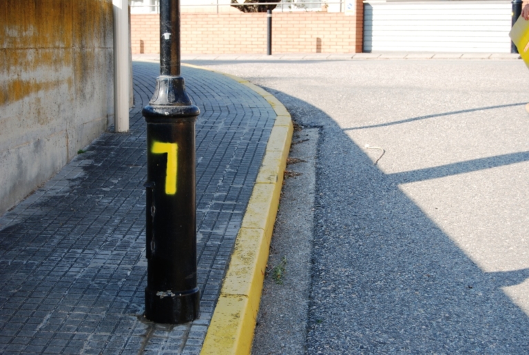
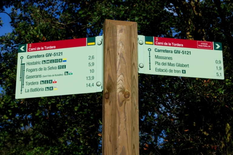
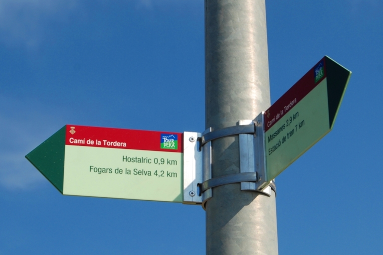
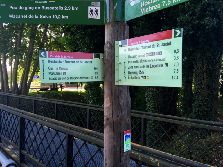
Always follow the Tourdera directional signs or the yellow painted trail markers found throughout the route. Remain on the marked path and follow the safety recommendations and guidelines for respecting the natural environment.
The Tourdera section between Massanes and Hostalric is shared by walkers and cyclists throughout. It begins at the municipal warehouse on Main Street, beside the entrance to Massanes from the GIV-5121. The route information panel is mounted on the warehouse wall. From here, the route continues for approximately 4.5 kilometres to the medieval town of Hostalric.
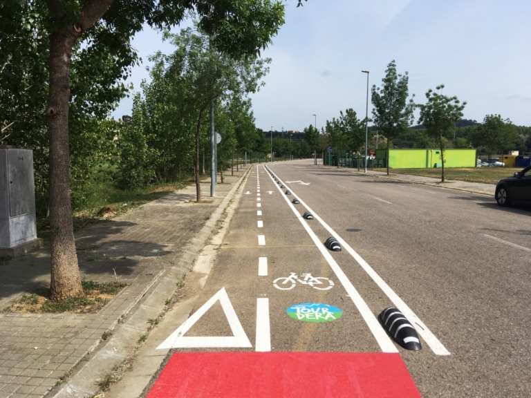
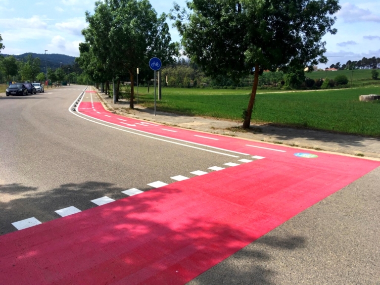
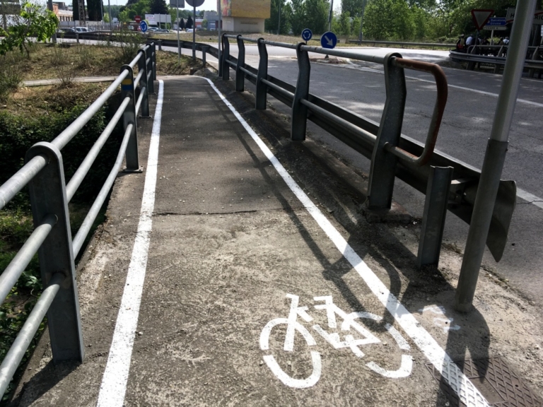
This very easy section follows mainly paved roads and paths. The surface is clearly marked with pedestrian crossings, cycle lanes, red traffic-calming areas and other route indicators.
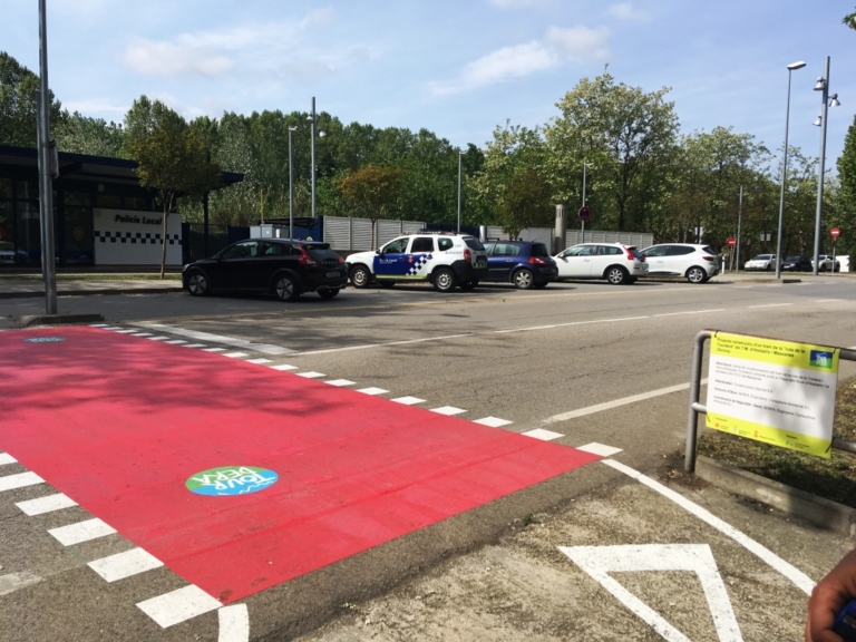
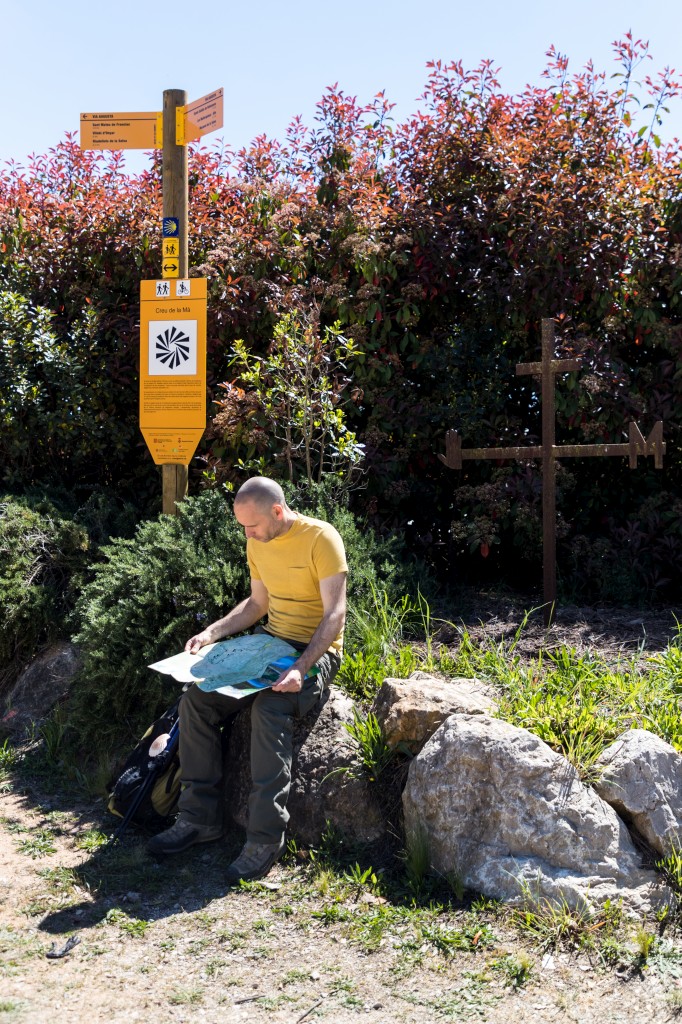
Directional signs and yellow painted markers can be found throughout. They use the standard code for marked trails: a stripe indicates the correct route, a cross marks the wrong direction and a 90-degree angle indicates a sudden change of direction or turn. Where the route is shared with vehicles, parts of the road are painted red and display the route logo.
The first part follows the GIV-5121. Take particular care during the approximately 850-metre descent before turning onto a paved side track. From this point to Hostalric, traffic is very light.
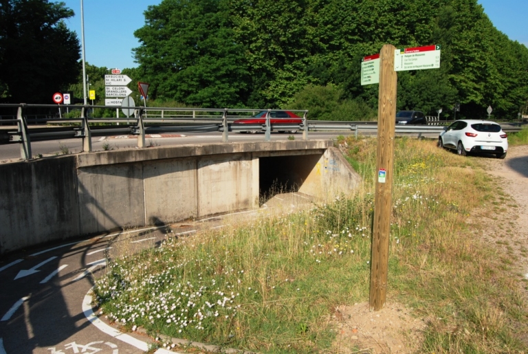
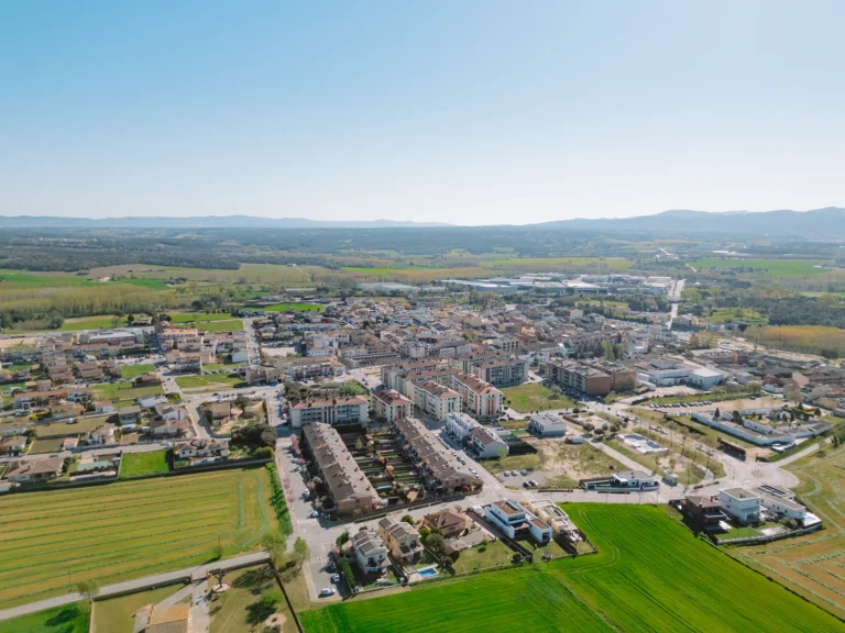
The route first passes through the Massanes industrial estate, using a lane separated from traffic. It then crosses the Can Tià Camps residential area before reaching Hostalric through an underpass beneath the bypass.
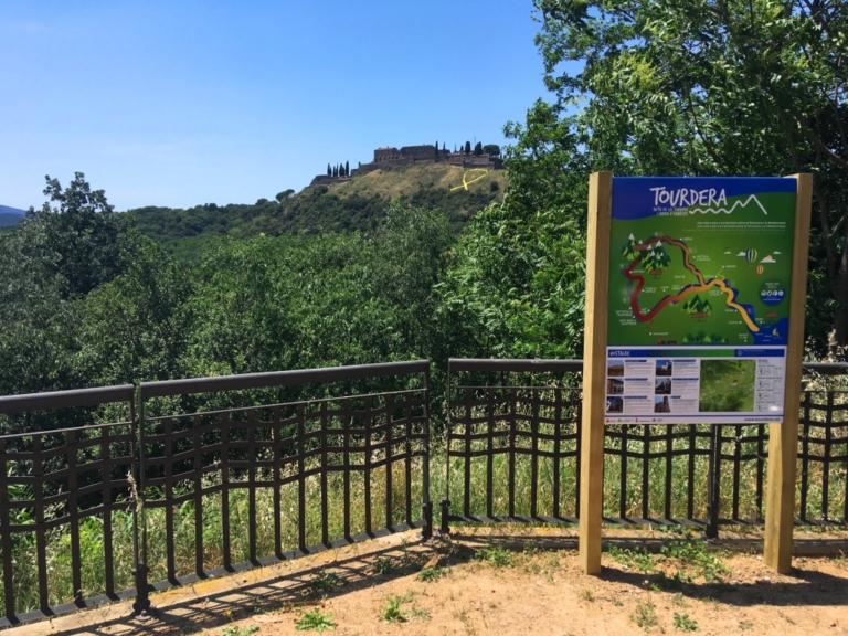
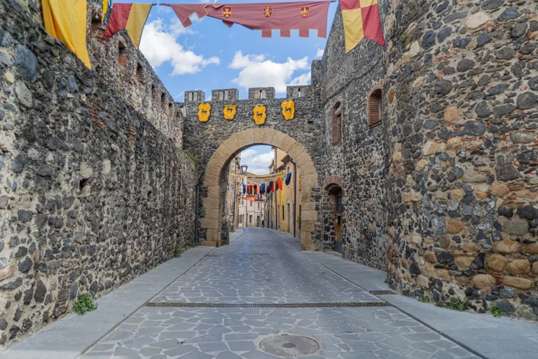
On entering Hostalric, you will first pass the Local Police station. If travelling on foot, walk up Ravalet Street to the Friars’ Tower, opposite the Town Hall. The section ends on the left, in front of the Tourist Office at Domus Sent Soví.
If travelling by bicycle, take Coronel Estrada Avenue, as cycling up Ravalet Street would mean travelling against the permitted direction. From Bulls Square, continue to the Tourist Office at Domus Sent Soví, where the section ends.






6 October, 2026 - Essències

8 June, 2026
5 June, 2026
Subscribe to the newsletter





Recovery, Transformation and Resilience Plan – Funded by the European Union – NextGenerationEU



Local Development and Employment Officer (AODL) within the new tourism management model for La Selva. Initiative subsidised by the Public Employment Service of Catalonia as part of the Local Development Support Programmes.