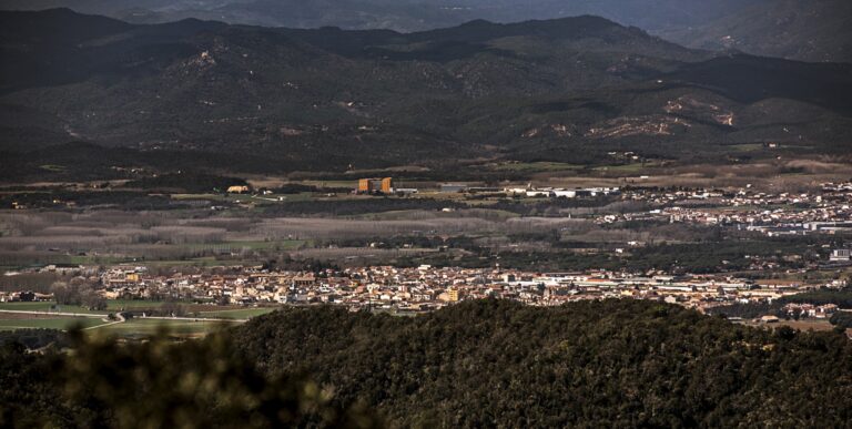
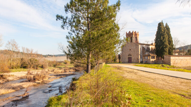
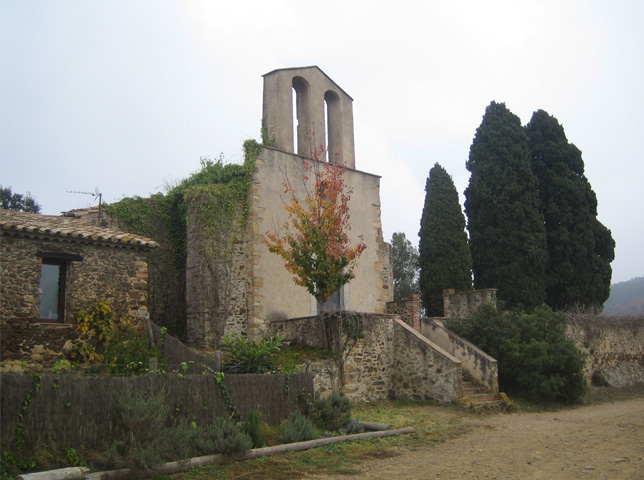
Puig Ventós is a 422-meter mountain located in the municipality of Vidreres. In fact, it is the highest mountain in the municipality. It is accessed from the signposted path that leaves from the hermitage of Santa Susanna de Caulès. This itinerary (Route to the Hermitage of Caulès and Puig Ventós Hill) allows us to link up with the Terranegra path to go to Tossa de Mar and Caldes de Malavella and with the Local Trails of Lloret de Mar. At the top of Puig Ventós you will find a geodesic vertex and a viewpoint that will allow you to enjoy the scenic and cultural points of interest of the municipality of Vidreres.






Subscribe to the newsletter





Recovery, Transformation and Resilience Plan – Funded by the European Union – NextGenerationEU



Local Development and Employment Officer (AODL) within the new tourism management model for La Selva. Initiative subsidised by the Public Employment Service of Catalonia as part of the Local Development Support Programmes.