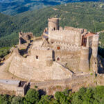
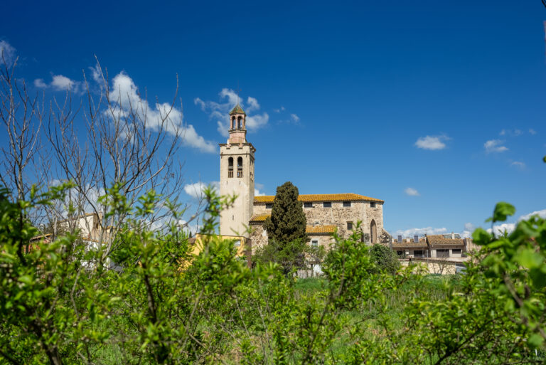
Riudellots, located on the plain of La Selva, about 100 meters above sea level, is a town of rivers and streams located in an area where all the waters coming from the Gavarres, the Cadiretes massif, and part of the Guilleries come together. The rivers, which can sometimes be seen completely dry, suddenly swell at certain times of the year, greatly increasing their flow and flooding the surrounding lands. Therefore, it is an area prone to flooding, swampy, and full of fens and river arms with stagnant water. This situation has been preserved in the toponym of the town: Riu de Llots.
Riudellots had to change location in 1340 due to frequent floods, documented since 1322, as the town was located in the middle of two streams: the Cric and the Riudevilla. The promoter of this change was the cleric Joan Nadal, lord and owner of the new land on which the current town was built, who had hidden economic interests.
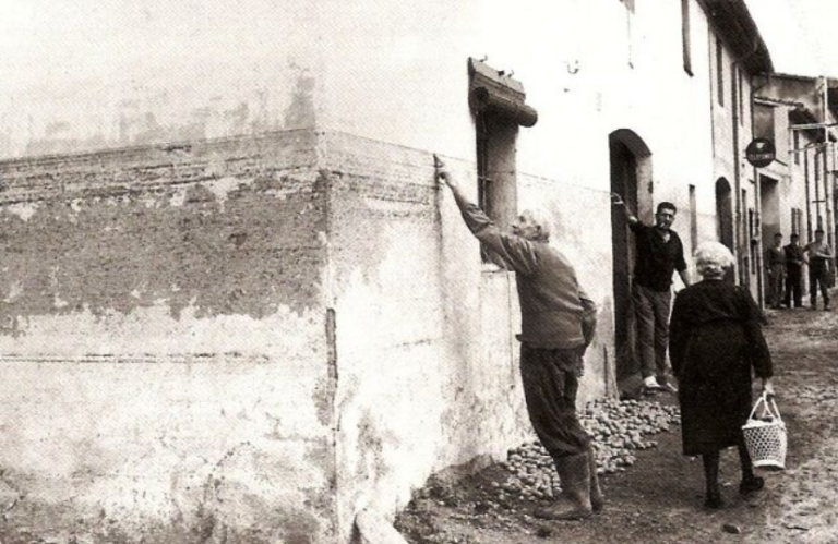
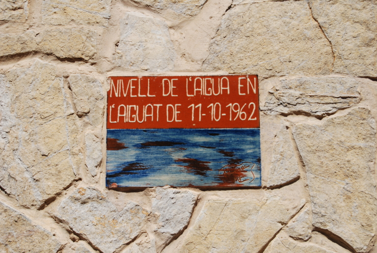
But, despite the relocation, the floods continued. The Onyar has overflowed on several occasions. The most famous flood was in 1884: the water reached 2.5 meters at the lowest point of the town. Although efforts have been made to combat floods, the phenomenon of flooding is not something that has been happening in the distant past. Proof of this is the flood that flooded the town in 1962.
In 1977, drainage works were carried out on the river, and a new bridge was built, as the existing one often blocked the waters of the Onyar and caused floods.



Subscribe to the newsletter





Pla de Recuperació, Transformació i Resilência - Finançat per la Unió Europea - Next Generation UE



AODL en l'ámbit del nou model de gestió turística de la Selva. Acció subvencionada pel Servei Públic d'Ocupació de Catalunya en el marc dels Programes de Suport al Desenvolupament local.