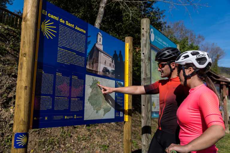
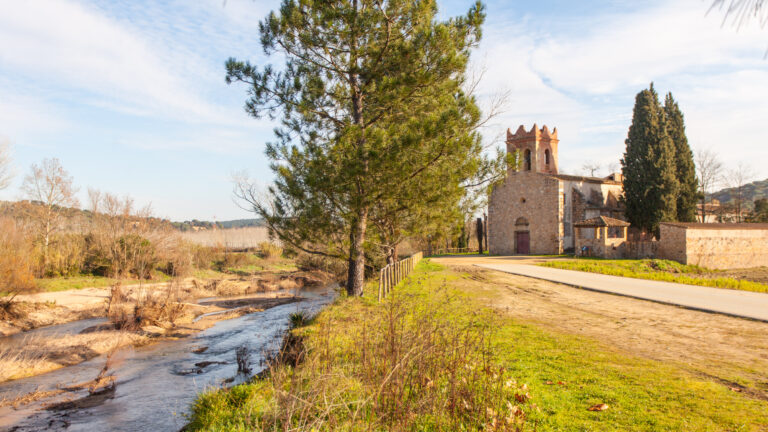
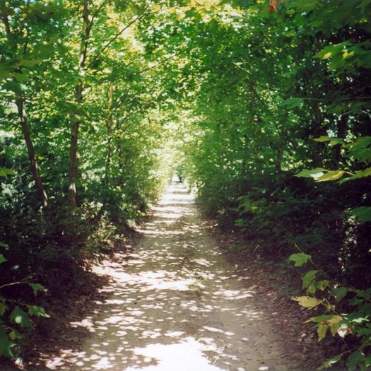
The sections of the Camí de Sant Jaume in the innermost part of la Selva, in the mountain area, correspond to the Camí de Sant Jaume de Catalunya which, from the border with France, heads towards Montserrat passing through Girona and this part of our region, coinciding with the route along the Carrilet greenway towards Olot. On this route, it passes through the municipalities of Sant Julià del Llor i Bonmatí, Anglès, la Cellera de Ter and Amer, and leaving the region towards la Garrotxa, it passes through les Planes d'Hostoles.

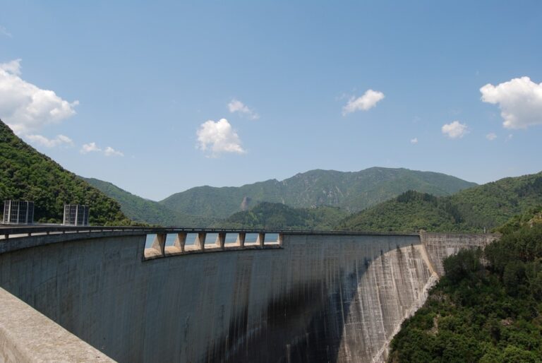
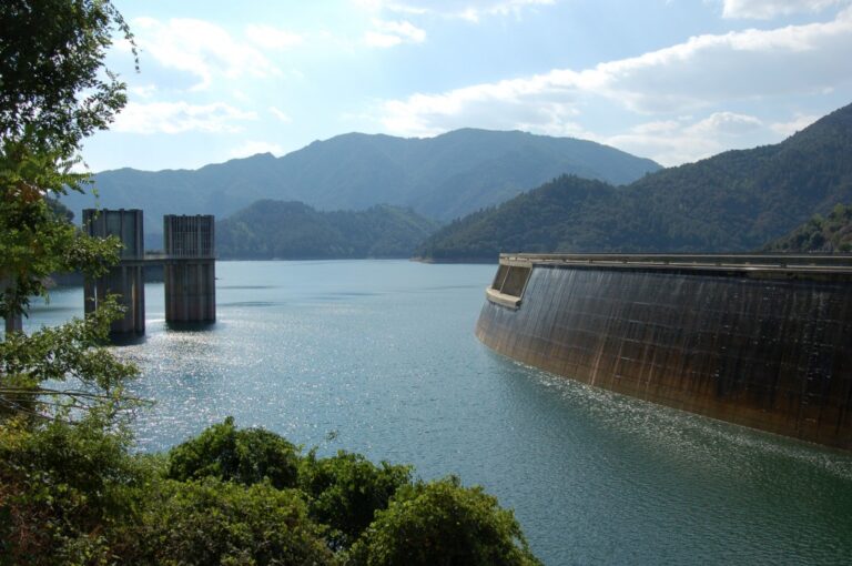
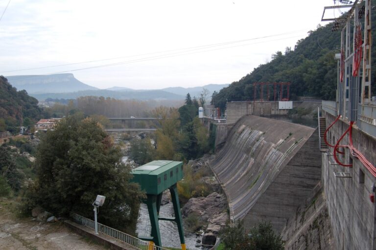
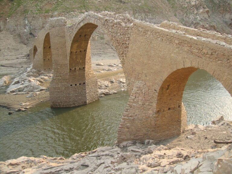
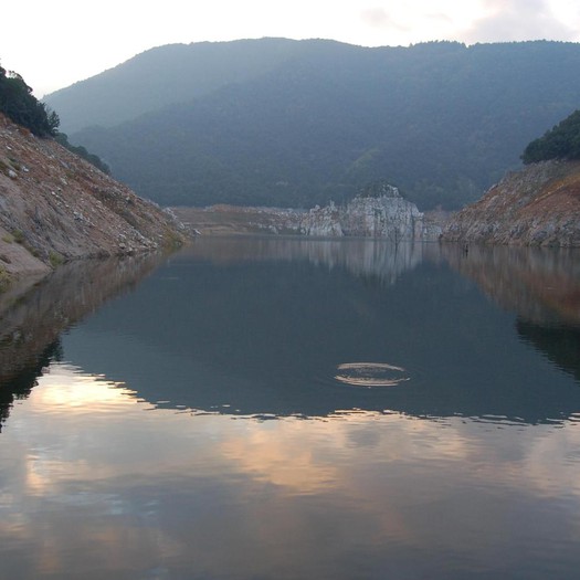
In la Selva there is a small branch of this path that works as a shortcut. Specifically, the path passes through the Susqueda and Sau reservoirs from el Pasteral, which avoids having to go through Olot on the way to Vic and Montserrat. On this branch, the path passes through the municipalities of Amer, Osor, Susqueda and Sant Hilari Sacalm, heading towards Vilanova de Sau, already in the Osona region.


8 June, 2026
5 June, 2026 - Heritage
5 June, 2026 - Museums

5 June, 2026
4 June, 2026 - Local product
3 June, 2026 - Walking route
Subscribe to the newsletter
Pla de Recuperació, Transformació i Resilência - Finançat per la Unió Europea - Next Generation UE
AODL en l\'ámbit del Patrimoni. Acció subvencionada pel Servei Públic d\'Ocupació de Catalunya en el marc dels Programes de Suport al Desenvolupament local.