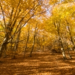
The Sant Marçal – Arbúcies section is a moderate stage, ranging from 12 km if you take the variants exclusively for hikers, or 15 km if you follow the paths suitable for bicycles. Despite being a relatively significant distance, the difficulty is only moderate, as it is a downhill route with very little cumulative ascent. The descent takes place in an area of great natural beauty within the Parc Natural del Montseny. As mentioned, there are variants exclusively for hikers where access by bicycle is prohibited.
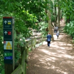
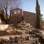
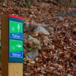
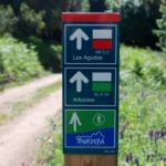
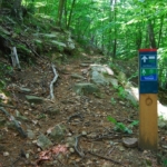
At the beginning of the stage, at Coll de Sant Marçal, there is a parking area and accommodation located right next to the Hermitage of Sant Marçal (not open all year round). The route starts at the small parking area at the pass, a starting point for several routes, including the ascent to Matagalls. By following the signs that you will find throughout the itinerary, whether signposts or waymarks, you will be able to complete the route and enjoy a pleasant walk through a natural and protected environment, always staying on the marked path and respecting the local flora and fauna at all times.
Cycling Variant
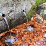
The section for cyclists is 14.9 km long, with only 85 m of cumulative ascent and 891 m of cumulative descent, so it should be considered of moderate difficulty. In this case, the descent begins with approximately 1,200 m along the road indicated by the first signposts you will find at the pass. Take the opportunity, however, to visit Font Bona (the source of the Tordera River) and the Hermitage of Sant Marçal, where you will find a restaurant. Once you have tasted the waters of Montseny, follow the signposts and waymarks that you will find throughout the route.
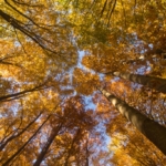
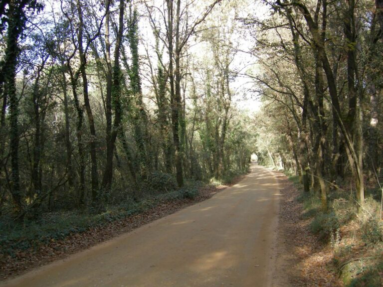
As soon as you leave the road, you will begin a descent along forest tracks through incredible beech woods at first, followed by chestnut and cork oak forests, until you reach Molí de les Pipes. We recommend stopping here to rest and recover at the restaurant, and above all, not missing the opportunity to visit the old bridge over the Arbúcies stream. From Molí de les Pipes onwards, you will no longer find the markings of the local Camí Marçaler trail that have accompanied you so far, but you will continue to find the Tourdera route markers, which will lead you to Arbúcies. From this point on, you will share the route with the hikers who are also following the trail.
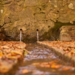
Along this final part of the route, you will walk beside the Arbúcies stream the entire way, enjoying a very pleasant walk that is especially cool during the summer, where you will also find additional springs, such as Font de la Corbadora.
The Hostalric – La Batllòria section, shared throughout its entire route by hikers and cyclists, allows you to discover the…
As a result of the severe damage caused by Storm Gloria, part of this section is closed due to the…
The Riells i Viabrea–Breda section is an easy route, 3.8 kilometres long, with a total ascent of 83 metres. Almost…


8 June, 2026
5 June, 2026

4 June, 2026 - Local product
Subscribe to the newsletter





Pla de Recuperació, Transformació i Resilência - Finançat per la Unió Europea - Next Generation UE



AODL en l'ámbit del nou model de gestió turística de la Selva. Acció subvencionada pel Servei Públic d'Ocupació de Catalunya en el marc dels Programes de Suport al Desenvolupament local.